Stockton Lake
About Stockton Lake
Stockton Lake, located in the western part of Missouri, is a 24,900 acre Corps of Engineers lake, created for power generation, flood control, and recreation. Because of the terrain in the area, Stockton Lake offers bluffs and rock banks, along with large flats. With Stockton being positioned north to south, there’s not much cover on the main lake from even mild winds. For this reason, Stockton Lake can be very rough at times.
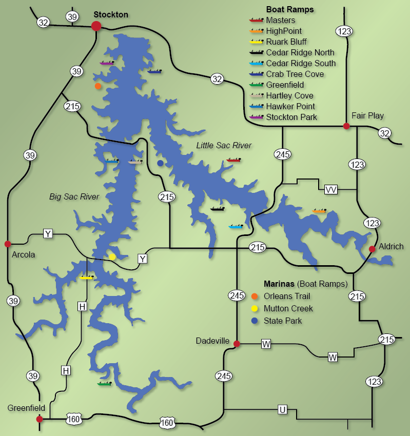
Stockton Lake is made up of two rivers, the Sac and Little Sac. Both arms are long, and offer deep channels, bluff and rock banks, gravel points, and large flats with flooded cedars. Where the main lake is very clear and windy, the water up in the Sac arms do offer some color and cover.
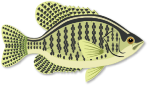
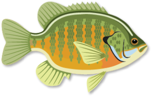
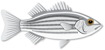
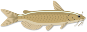
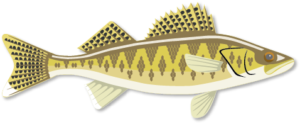
Stockton Lake offers many recreational opportunities such as fishing, boating, skiing, sailing, scuba diving, camping, golf course, horseback riding, and hiking trails. For water sports, there are plenty of boat ramps around the lake along with three marinas, Orleans Trails, Mutton Creek, and Stockton State Park. All three marinas are full service, and provide fuel, storage, tackle, store, and boat rentals. There are also resorts, motels, restaurants, and shops in the area. For fishing, Stockton Lake offers black bass, crappie, bluegill, white bass, catfish, walleye and muskie. A recent stocking program on Stockton Lake should provide excellent walleye fishing in the future.
Detailed Lake Information:
Type of Lake: Hilland
Average Depth of Lake: 69 feet (est)
Spring Thaw: Does not occur
Fall Turnover: August
* Stockton Lake will freeze over during hard winters.
Heavy Rains: Affects entire lake with the exception of the dam area. The rest of the lake clears up in 2-3 weeks.
Detailed Lake Characteristics:
This information describes the makeup of the bottom, shoreline, structure, and water color for various parts of Lake Stockton.
Detailed Fishing Information:
Main Forage: Shad
Average time of year when fish spawn:
Best baits to use during seasons:

